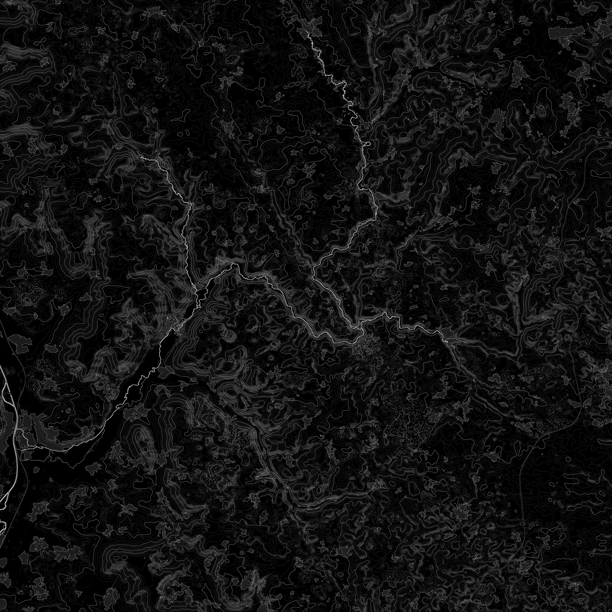
Ebermannstadt & Franconian Switzerland
Region49° 47′ N · 11° 11′ E
Franconian Switzerland begins right on the doorstep. Rock, valleys and houses standing on their own are the subject here — and that is exactly what aerial footage is made for.
Here, landscape is not a backdrop
For hosts, wedding venues and special properties, the surroundings are often the real argument. A video shows the approach, the setting and the view in a few seconds — no text and no photo gallery can do that. Secluded properties in particular become measurably easier to understand.
Respecting nature reserves and rock
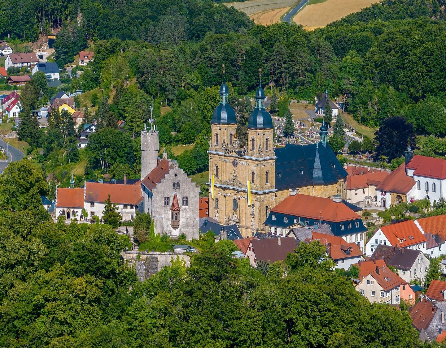
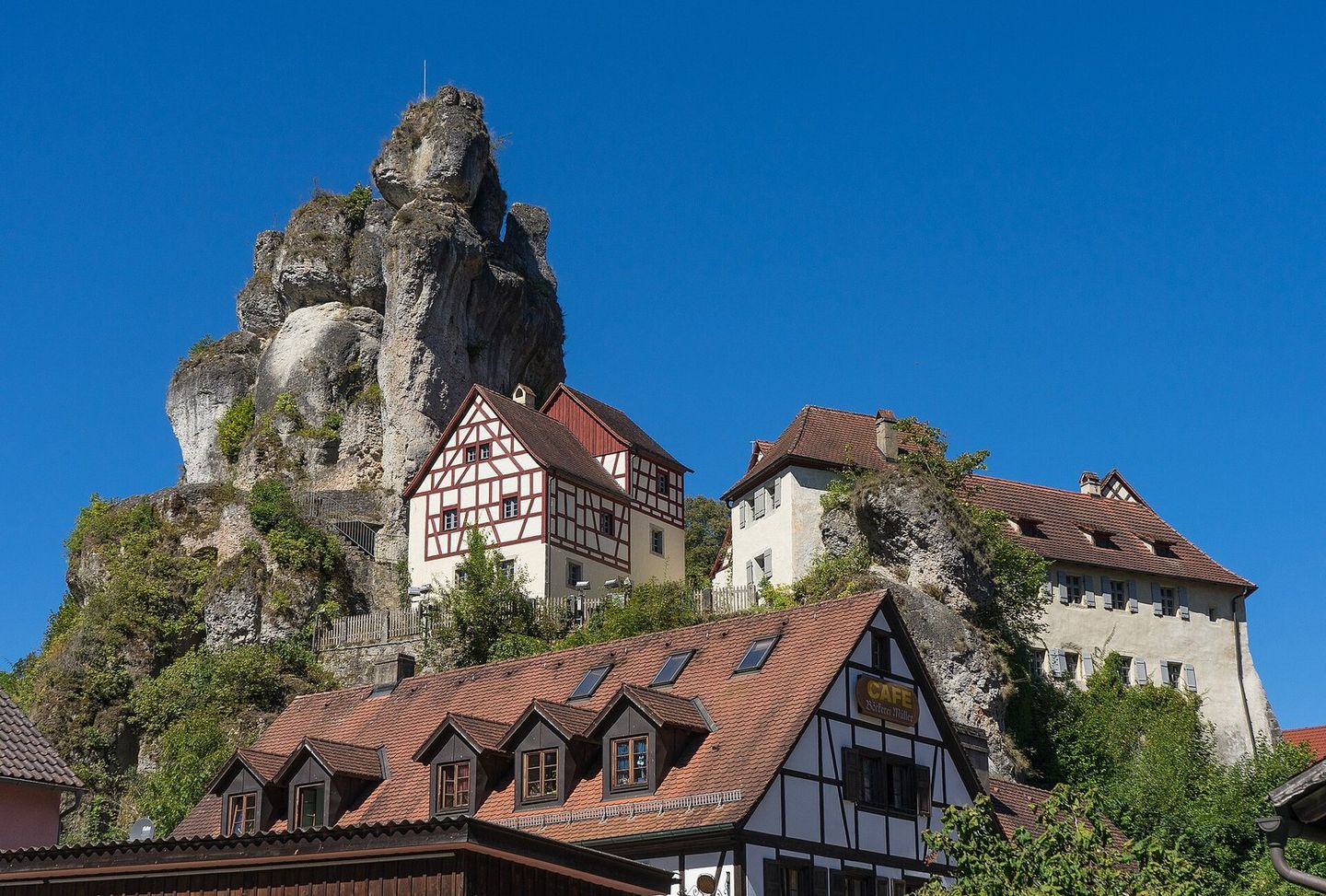
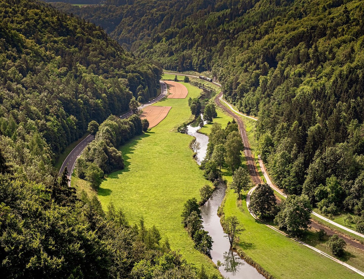
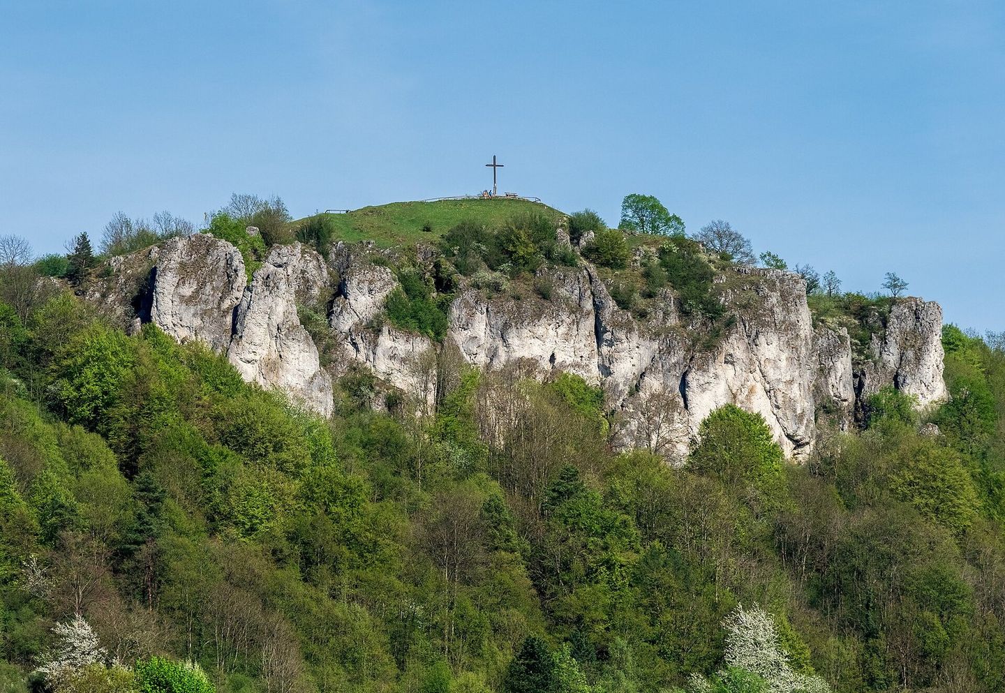
Parts of the region are protected. Nature reserves have their own rules, as do areas near nesting sites on the rock faces and above crowds. Permissions are clarified beforehand, not improvised on site.
Where filming happens here
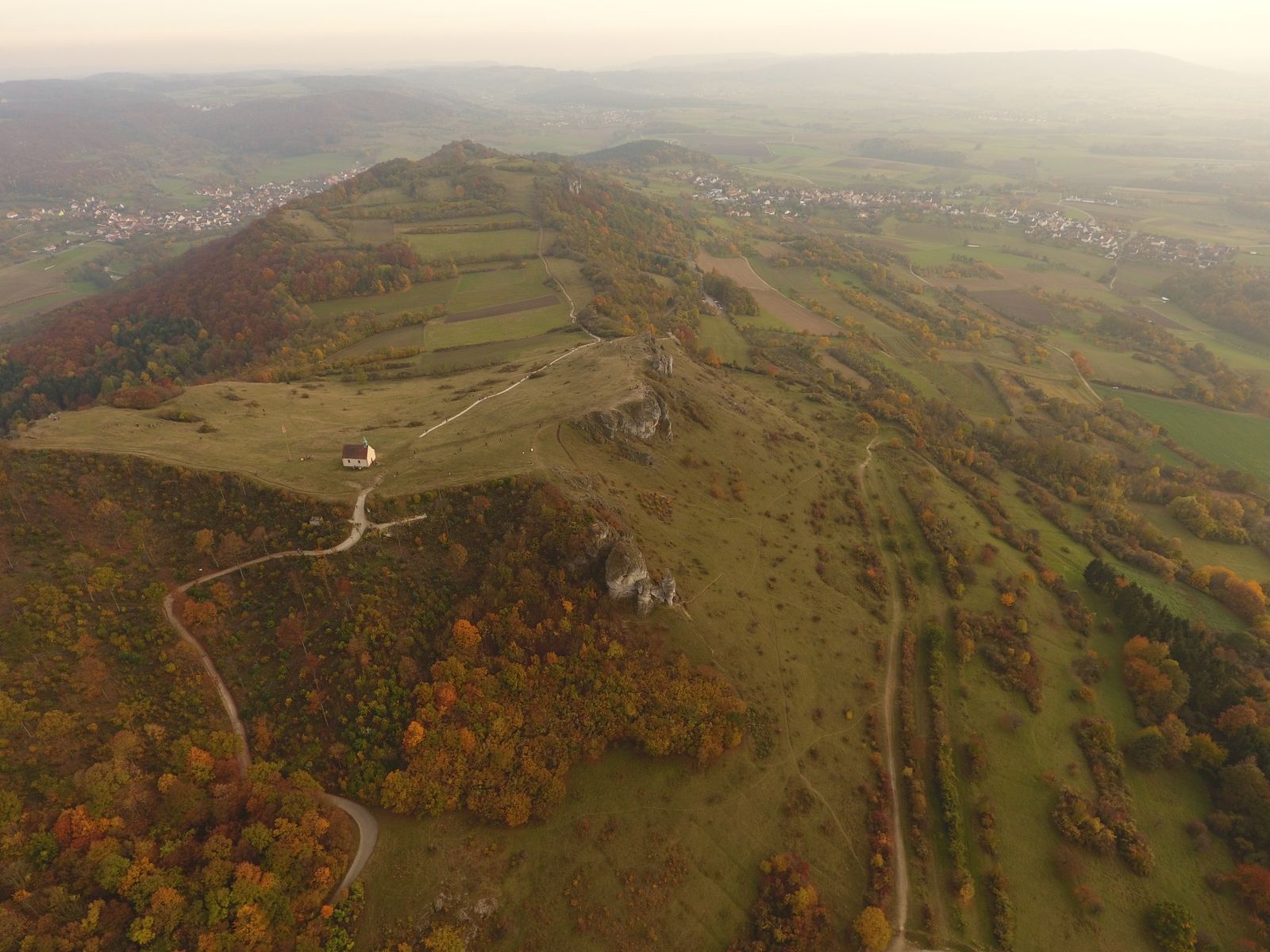
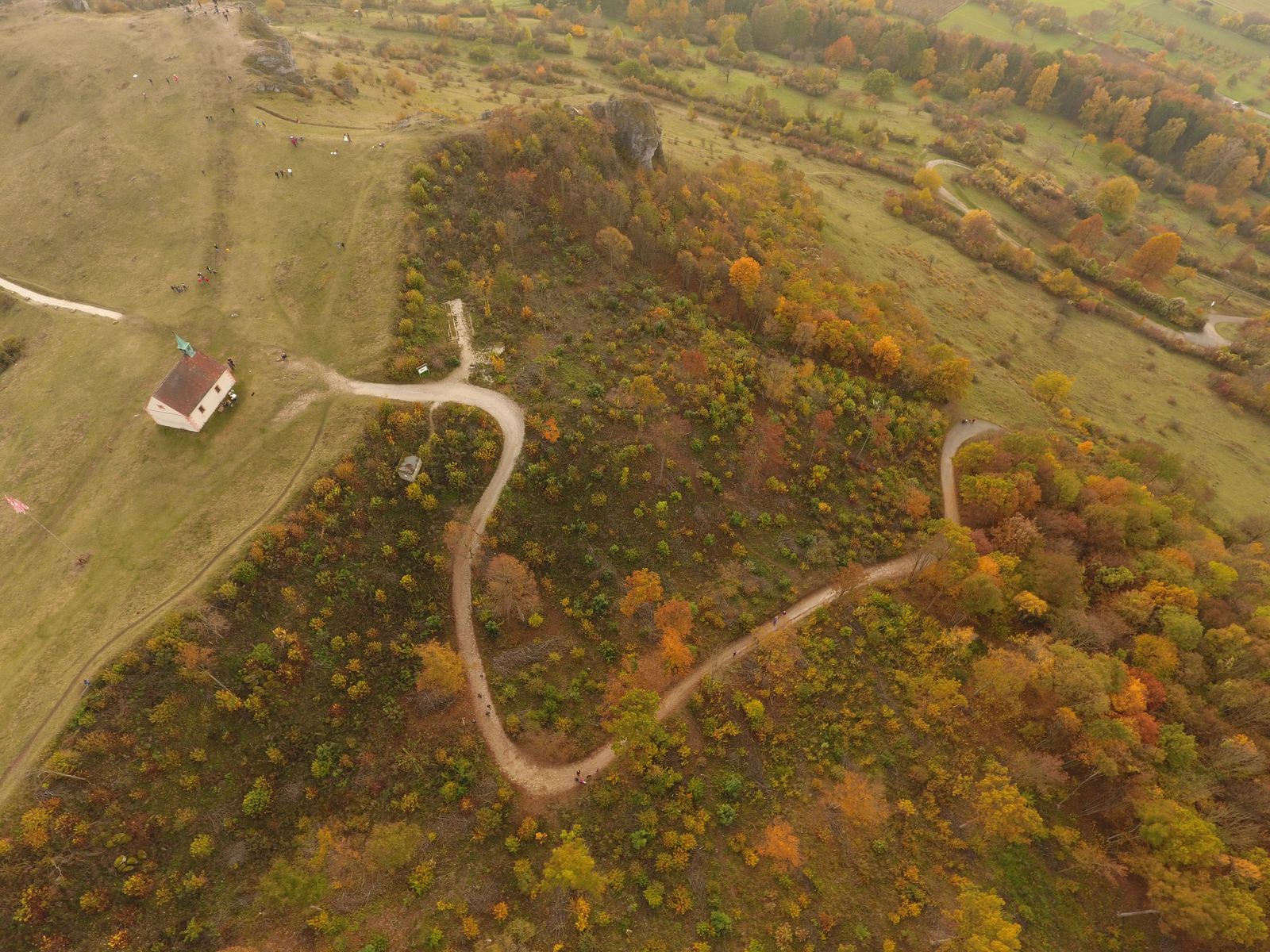
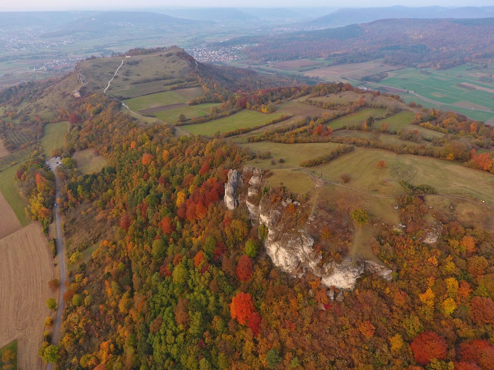
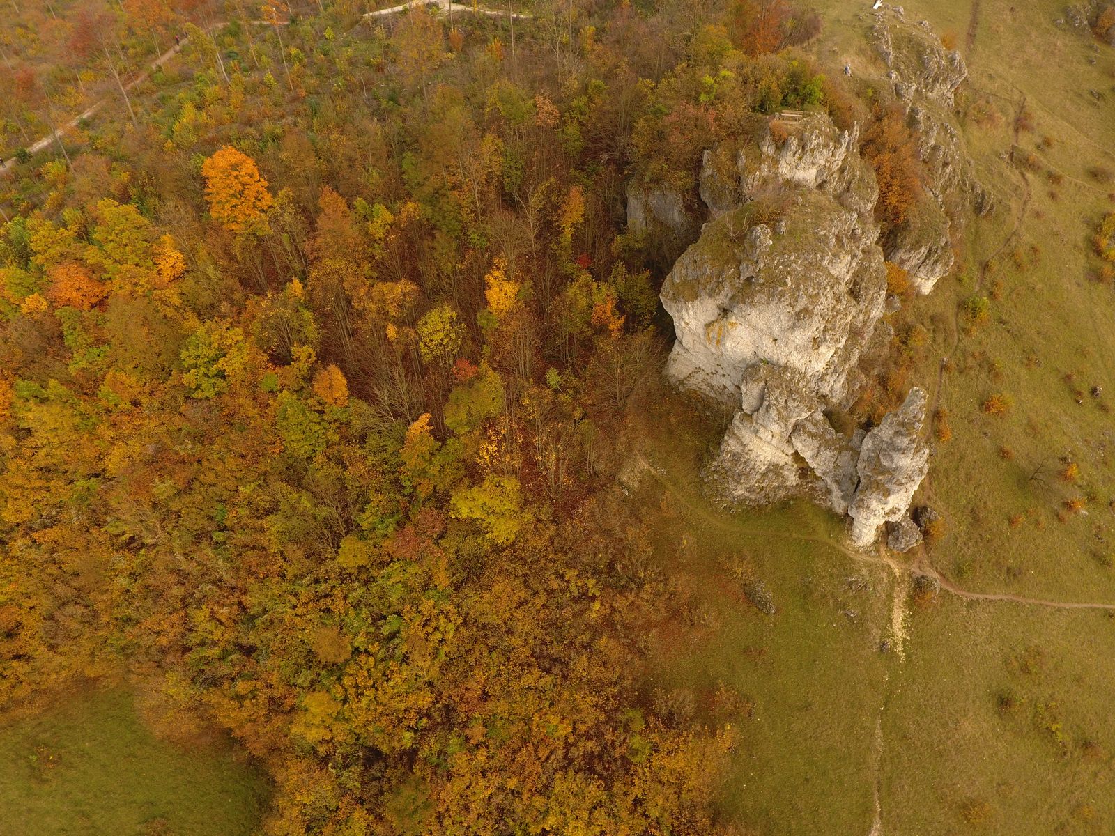
Ebermannstadt, Gößweinstein, Pottenstein, Waischenfeld, Muggendorf, Streitberg, Heiligenstadt and the Wiesent, Ailsbach, Püttlach and Trubach valleys.
Matching services
Neighbouring regions
Beyond the region
Rooted in Franconia. At work in Germany, Austria, Switzerland and internationally.
What it costs
Every production is priced according to goal, scope and distribution. After a short briefing you receive a transparent quote that fits.